Microsoft Flight Simulator mods
109,137 results- 15 per page
- 30 per page
- 45 per page
- 60 per page
-
See more per page
Bigger pages, fewer clicks - and no ads anywhere.
Go Pro

VILH Leh
Explore the unique Leh/VILH airport in the Indian Himalayas with this enhanced add-on for Microsoft Flight Simulator. Experience the challenge of one-way operations on runway 07 for landings and runway 25 for take-offs, amidst breathtaking terrain. This improvement includes fixed terrain, updated runway profiles, PAPI lights, tower frequency, and revamped parking areas, offering a more realistic and detailed flying experience. Additionally, discover custom ground markings, improved scenery, and VFR procedures for a truly immersive flight adventure in this busy military airport.
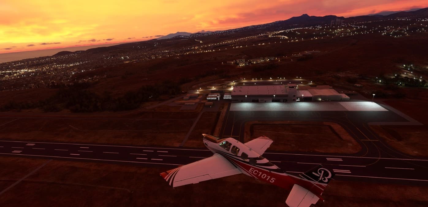
GVNP_Luces_V1 – Aeropuerto Internacional Nelson Mandela v1
El Aeropuerto Internacional Nelson Mandela (en portugués: Aeroporto Internacional Nelson Mandela) (IATA: RAI, OACI: GVNP) es un aeropuerto ubicado en la ciudad de Praia, en la isla Santiago, en Cabo Verde. Se encuentra a unos 3 km al noreste del centro de Praia, en el sureste de la isla de Santiago, se accede por el lado sur a través de la Avenida Aristides Pereira, y por el norte por la Circular de Praia. El aeropuerto dispone de una pista de categoría 4D con orientación 03/21 con una longitud de 2103 metros y una anchura de 45 metros. MSFS 2020 Airports 19 Oct, 2020 MSFS 2020 Airports 3 Mar, 2021 MSFS 2020 Airports 24 Aug, 2021
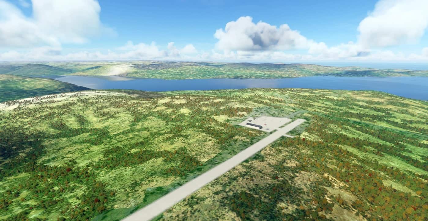
Nunavik pack v0.0.4
This pack is a collection of airports in the Nunavik region of Quebec missing from FS2020. You will find the following airports : – CTP9 Donaldson Airport – CYAS Kangirsuk airport – CYIK Ivujivik Airport – CYKG Kangiqsujuaq (Wakeham Bay) Airport – CYLA Aupaluk airport – CYLU Kangiqsualujjuaq – CYMU Umiujaq – CYPH Inukjuak – CYPX Puvirnituq – CYTE Cape Dorset Airport – CYTQ Tasiujaq airport – CYZG Salluit Airport This pack has been sponsered by W1lc0 who is operating FBOs in this area in FSEconomy. if you like this work, feel free to buy me a coffee or send me v$ in FS Economy (player: bagolu) GPS Coordinates: 59.296700,-69.599701 MSFS 2020 Airports 20 Sep, 2021 MSFS 2020 Airports 17 Nov, 2020 MSFS 2020 Airports 29 Nov, 2020
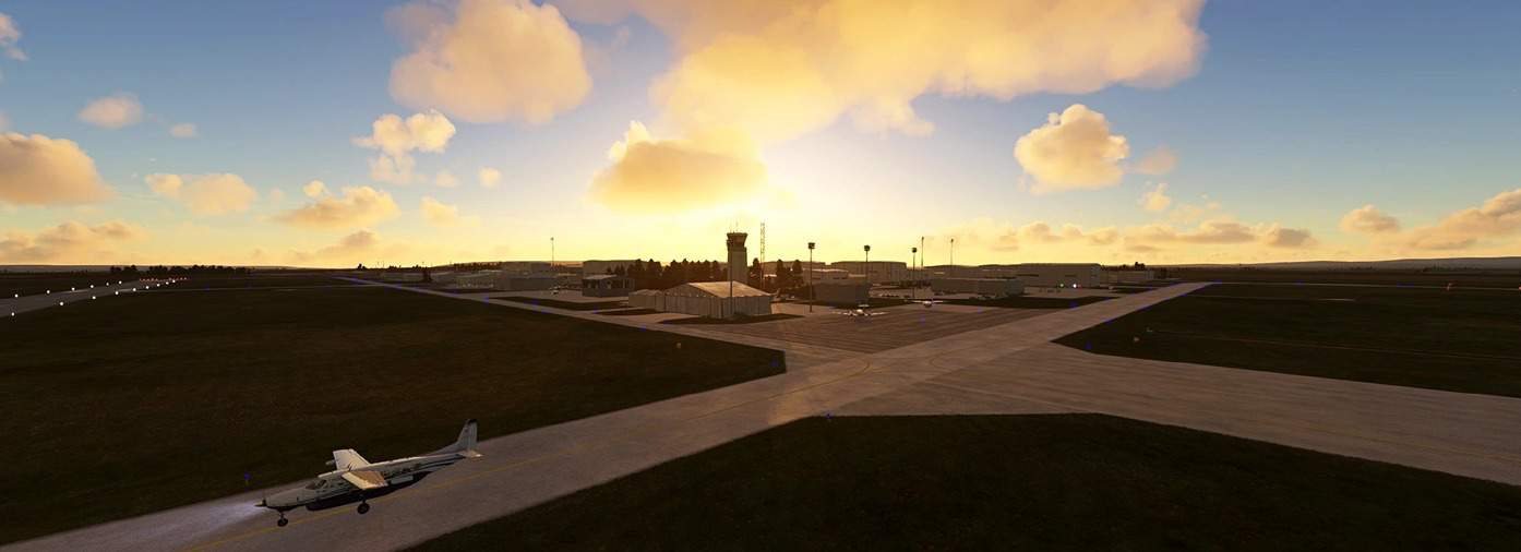
Calgary Springbank CYBW v1.0
Welcome to Calgary Springbank CYBW! Springbank is a very popular GA airport located just west of the city of Calgary. Field elevation is 3940′ and the airport has four runways all of which are more than 3400 feet long. CYBW is a great starting point for trips west through the Rockies. In version 1.1 I reprimanded the workers for painting a hold short line on taxiway Delta backwards. I also got them to finish painting taxilines on Alpha 1 at alpha. A few other small additions to some parking areas… MSFS 2020 Airports 1 Oct, 2021 MSFS 2020 Airports 20 Jun, 2021 MSFS 2020 Airports 29 Sep, 2020
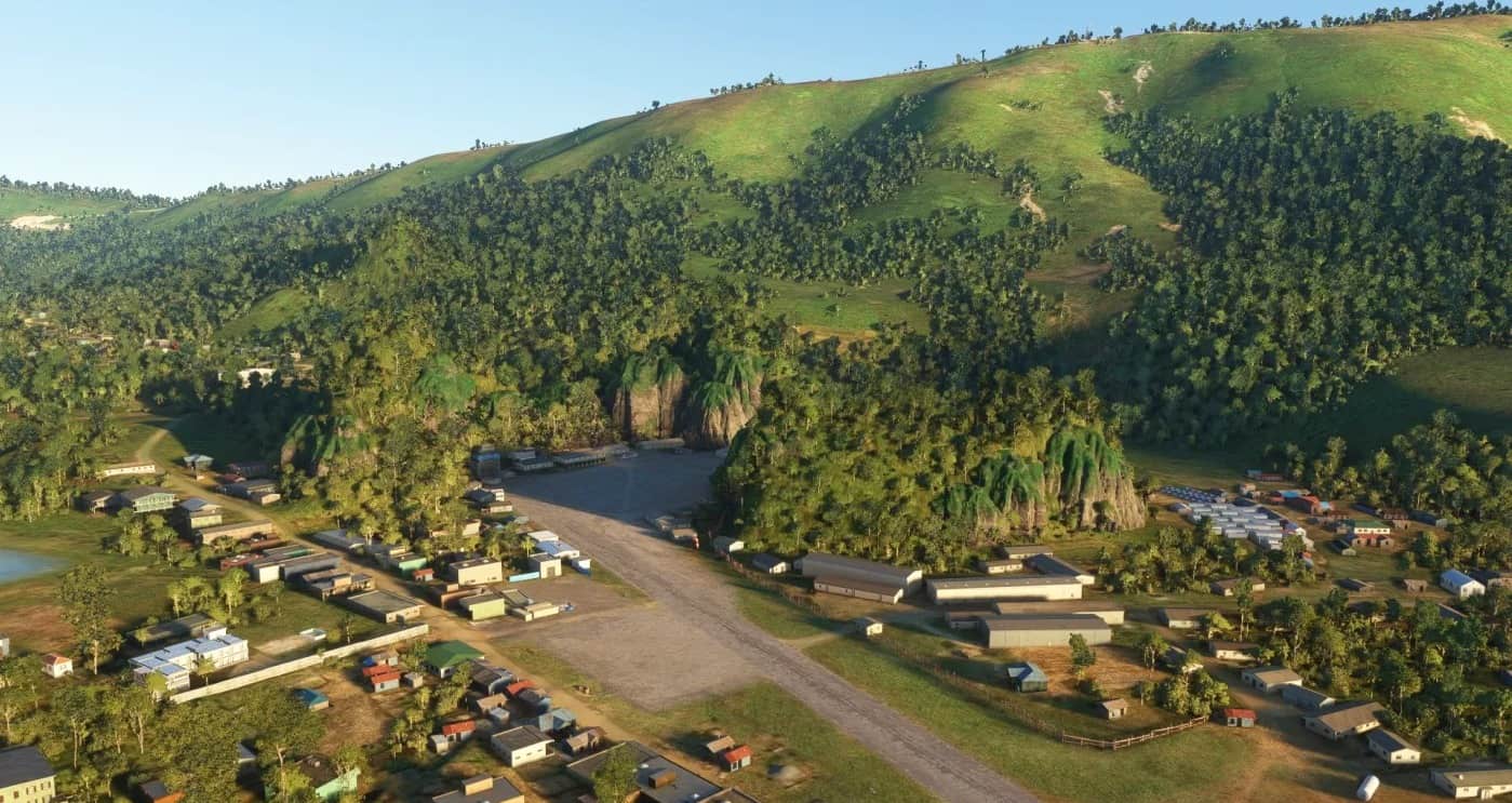
Laos – Long Tieng scenery pack (3 airfields) v0.1
This package contains an improved scenery of Long Tieng (Lima Site 20 Alternate) airport, as well as two smaller bonus air strips nearby: Sam Thong (Lima Site 20) and Xieng Dat (Lima Site 26). The scenery only uses default MSFS/Asobo object libraries (which is why the file size is so small). LS20A (Long Tieng) features revisions to terrain, including karst (limestone cliffs) around the airfield, additional buildings, changes to vegetation (smaller, sparser trees in certain areas to better reflect local landscape), a paved runway and parking pads, as well as a helipad on Skyline Ridge overlooking the airfield – plus numerous “flavour objects” and a few easter eggs. LS20 and LS26 feature more modest updates, with earth runways suitable for smaller aircraft, as well as some added buildings and flavour objects. There are also elevation changes, particularly at LS26 where the Nam Ngum river’s elevation for a couple of miles north and south of the airfield has been tweaked. Hidden in a high mountain valley in northern Laos lay the remains of an aviation legend. For a brief period in the 1960s-70s, when it was not even marked on any maps, Long Tieng – also known as “Lima Site 20 Alternate” or “Sky”, was simultaneously all of the following: One of the world’s busiest airfields, seeing hundreds of takeoffs and landings on its busiest days. One of the world’s largest refugee camps, home to over 40,000 Laotian Hmong displaced by war. The headquarters of a secret guerrilla army and a small de-facto independent air force, made up of covert US personnel (most notably the Raven forward air controllers flying O-1 Bird Dogs), and a group of American-trained Hmong pilots called Chaopakao flying armed T-28s as attack aircraft. The largest CIA facility outside the US, with the highest density of sophisticated radio antennas per square mile anywhere in the world during that time. For 15 years, Long Tieng was the main base of operations of General Vang Pao’s “Secret Army” – trained, supplied and supported in a covert effort by the CIA – as they held back a communist force many times their own number. This was far from an idle exercise in foreign meddling, as the Hmong militias made a significant contribution to the US war efforts in Vietnam – but at great cost. Crucial in keeping the so-called Secret War in Laos going were thus “civilian” air operators such as Air America, CASI, BirdAir and others. Long Tieng was by far the most important and most-visited destination on their itineraries. This scenery pack makes it flyable once again! It doesn’t quite bring Long Tieng up to the height of its glory days – but spruces it up just enough to be serviceable and ready for traffic. “Alternate” certainly offers up some challenging flying. While the high, bowl-shaped plateau among sharp karst peaks offered an ideal location for shielding it from attack and observation – flying here is far removed from any modern forms of safety. On the south end of the airfield, a steep, off-angle approach is required for a safe landing. Only northbound landings and southbound takeoffs are possible – owing to the unique terrain feature (otherwise known as a cliff) on the north end of the runway, which pilots called the “vertical air brake”… for reasons which should be self-explanatory! NOTES (v 0.1): The depiction of the airfields neither represents their current state (where they have been abandoned for decades), nor exactly as they would have looked at their peak in the late 60s-early 70s – but somewhere in between. Think of them more as partial, modern-day restorations. There may be some inconsistencies in the way cliffs immediately next to the runway at Long Tieng are displayed when zooming in from longer distances (e.g. floating objects, objects popping in). These should display correctly once you get closer. NO AI TRAFFIC: at the moment, while the airfields are fully usable for player aircraft – they are not configured for AI use, and you will not see AI aircraft, vehicles, or ground crews at any of them. This may be revised in later updates. CAR TRAFFIC: unfortunately, Long Tieng’s runway is currently considered a road in MSFS – and I was not able to remove AI cars from it. If you plan to use it – I suggest turning off road traffic (set it to 0 from Generall Options => Traffic) when using the Long Tieng runway. Looking into ways to correct this. INSTALLATION Unzip contents of this folder to your Community add-ons folder (where this is located depends on your installation). GPS Coordinates: 19.10959025883686, 102.92210768408972 MSFS 2020 Airports 8 Oct, 2020 MSFS 2020 Airports 24 Nov, 2020 MSFS 2020 Airports 4 Mar, 2021
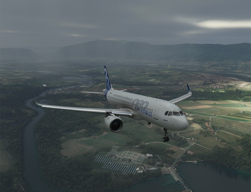
Landing Challenge Annemasse
Experience a thrilling landing challenge as you divert to Annemasse airport with limited fuel in your A320. Can you successfully land on the 1.3km runway in this intense scenario? Test your piloting skills now!
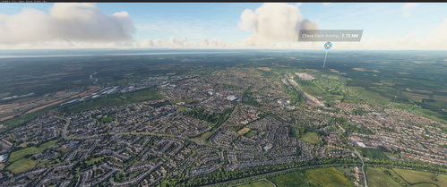
Yate and chipping sodbury UK
Explore the picturesque towns of Yate and Chipping Sodbury in Gloucestershire with this Microsoft Flight Simulator add-on.

EDWQ - Flugplatz Ganderkesee / Atlas Airfield
Enhance your experience at EDWQ - Flugplatz Ganderkesee / Atlas Airfield with this fix addressing major bugs and improvements including removal of incorrect buildings, addition of details, fences, and a radio tower. Simply unzip and move the provided folder to your Community folder. Stay tuned for upcoming projects such as Bremen Airport (EDDW) and Jade-Weser Airport (EDWI). Contact [email protected] for feedback and support.
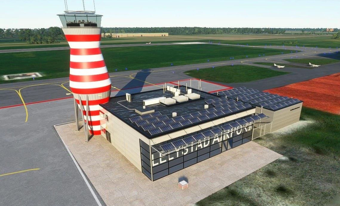
Lelystad Tower v0.9
Description This is a model of the new ATC Tower at Lelystad Airport in the Netherlands. The new tower was built and completed recently in anticipation of an expansion of flights at Lelystad. Since the tower is rather iconic and it’s missing from the default scenery, I decided to create it for flight simulator. I am working on the entire airport, with a variety of buildings, surfaces, and textures, but I felt my tower model was complete enough to be released for those interested. I should note that the texturing is NOT completed and I am aware that this version is missing a few textures. I will update the model when necessary to make it more complete. Installation Copy the entire folder “airport-ehlx-ehletower” to your Microsoft Flight Simulator Community-folder (“C:\Users\\AppData\Local\Packages\Microsoft.FlightSimulator_8wekyb3d8bbwe\LocalCache\Packages\Community”). Startup Flight Simulator, load a situation at Lelystad Airport (ICAO: EHLE) and enjoy. Notes As mentioned above, this is a pre-release unfinished model. The basics are in place, but it needs work still. I do appreciate feedback, but please keep this in mind when critiquing. The filename airport-ehlx-… is a result of needing to input an ICAO code for the project system. EHLX is obviously not Lelystad’s ICAO code. The rest of the airport is being worked on, this package is solely the tower model as it currently stands. There is no night lighting yet. It will be added eventually. Support I don’t forsee any show-stopping issues arising from my scenery Distribution/Usage My work is freeware, it will always be freeware. You may distribute this package amongst friends, but please include this Readme. GPS Coordinates: 52.45595079086408,5.52503964611916 MSFS 2020 Airports 3 Jan, 2021 MSFS 2020 Airports 2 Jan, 2021 MSFS 2020 Airports 8 Jan, 2021
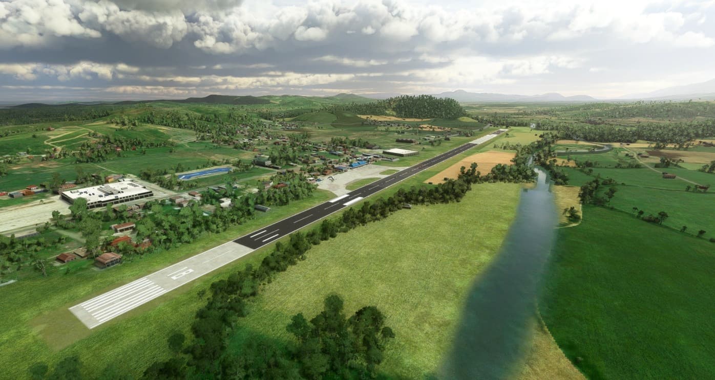
Surigao Airport – RPMS v1.0
Served by Cebu Pacific, Surigao Airport is a secondary minor domestic airport in Surigao City. The airport was damaged in 2017 due to an earthquake but as of late 2019 it was repaired and now accomadates flights from Cebu and Manila The taxiway may not be accurate due to the lack of aerial imagery in the sim, so I used my best judgement to create the taxi lines. I will try to add atc in future updates when i learn how atc works *Scenery assets are made using default assets and is NOT handcrafted. However, I do try my best to capture the overall shape and atmosphere of the airports I make down to the assets I use as well as to the dirt and grime of the runway and tarmac. I hope you enjoy my work!* *DISCLAIMER* – Scenery is loosely based on google maps satellite imagery and may not be 100% accurate to the real life location. – I am unsure on how to work the ATC using the SDK so it may not function properly – In any circumstances where I use a non-default asset, I do apologize and It would be great if the owner of said asset (if there is) let me know! – Feedback is greatly appreciated! GPS Coordinates: 9.759993945917433, 125.4821598691267 MSFS 2020 Airports 31 Oct, 2020 MSFS 2020 Airports 24 Oct, 2020 MSFS 2020 Airports 24 Jan, 2021
San Jose Airport – RPUH v1.0
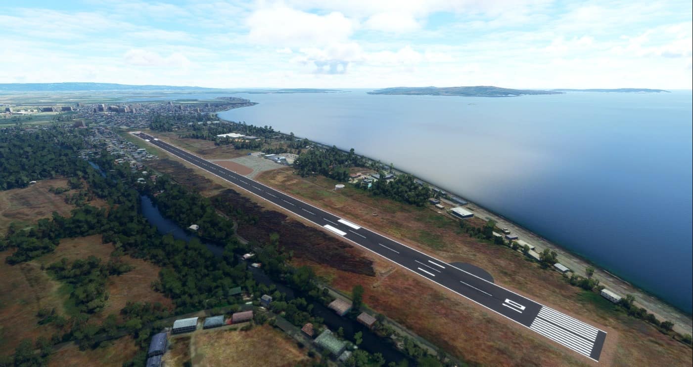
Here is San Jose Airport! It is not as detailed and high quality as the other airports I have made since this was one of the earlier ones I made but I hope you still enjoy it though! I will update it if there are any problems in the future. *Scenery assets are made using default assets and is NOT handcrafted. However, I do try my best to capture the overall shape and atmosphere of the airports I make down to the assets I use as well as to the dirt and grime of the runway and tarmac. I hope you enjoy my work!* *DISCLAIMER* – Scenery is loosely based on google maps satellite imagery and may not be 100% accurate to the real life location. – I am unsure on how to work the ATC using the SDK so it may not function properly – In any circumstances where I use a non-default asset, I do apologize and It would be great if the owner of said asset (if there is) let me know! – Feedback is greatly appreciated! GPS Coordinates: 12.360465115995822, 121.04576987037741 MSFS 2020 Airports 17 Nov, 2020 MSFS 2020 Airports 17 Nov, 2021 MSFS 2020 Airports 23 Oct, 2020
Aviateca Blue v1.0
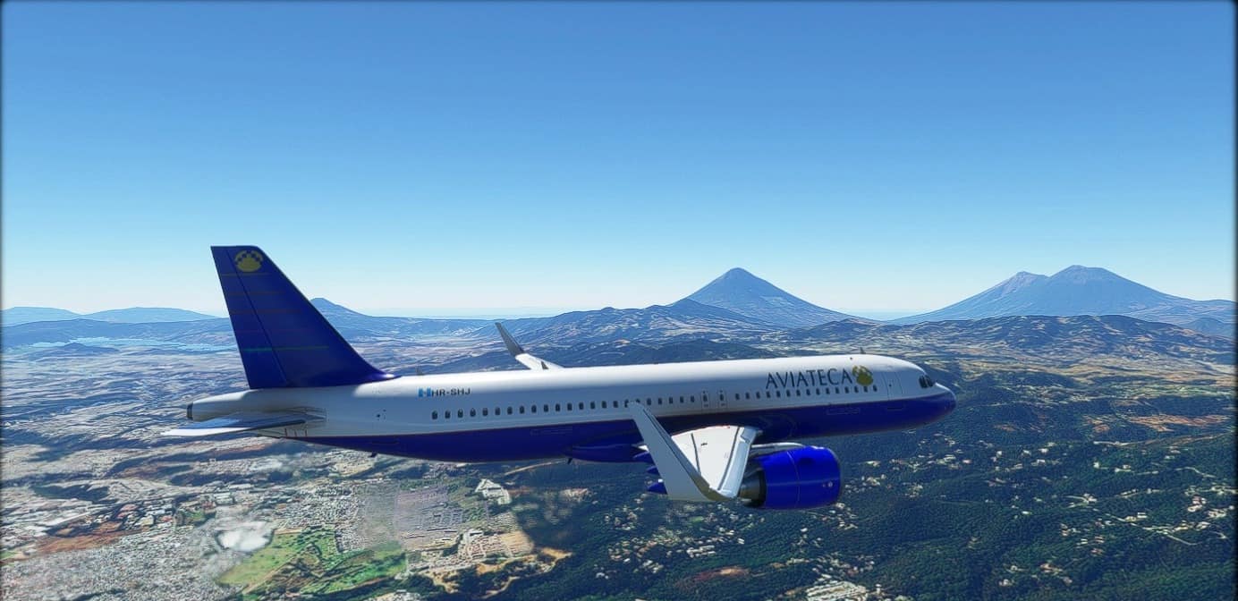
A reimagening of a mid 1990’s liverie desigm for Aviateca, now own by Avianca. Created in Blender and Gimp.Stencils MSFS 2020 Liveries 5 May, 2022 MSFS 2020 Liveries 28 Nov, 2021 MSFS 2020 Liveries 6 Sep, 2021
Landing Challenge Bora Bora
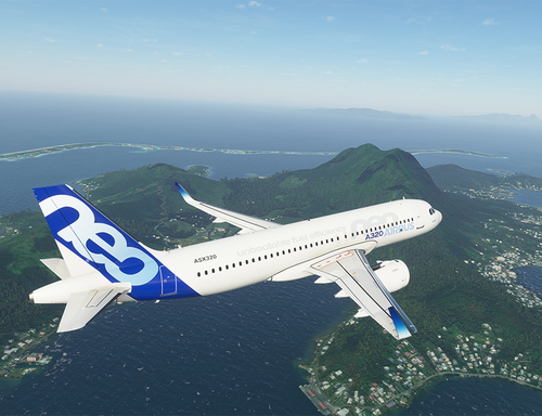
Experience thrilling landing challenges in Bora Bora with this add-on. Choose from three different scenarios: a famous challenge with the CJ4, an epic challenge with the 747-8i, or a strong wind challenge with the A320. Created using BushMissionGen, this add-on offers a unique and exciting experience for Microsoft Flight Simulator enthusiasts. Simply unzip and place your chosen folder in the community folder to start the adventure.
![[Ground Handling] FedEx Textures](https://cdn.flightsim.to/images/06/b5_TOL1r.png?width=500)
[Ground Handling] FedEx Textures
Enhance your ground handling experience with FedEx textures in Microsoft Flight Simulator. Simply install the "FedExGroundHandling" folder into your community folder and enjoy the new look. Remember to avoid having any conflicting packs to ensure smooth functionality. Need support? Leave a comment for assistance.
San Fernando Airport, La Union – (RPUS) v1.1
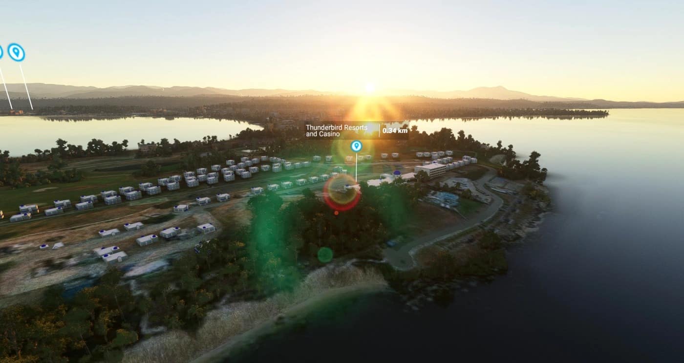
KER0TIN and MR Scenery Development Presents to you San Fernando Airport (RPUS) 3D Models were made by MR Scenery Development. Have Fun and Enjoy -KER0TIN -MR Scenery Development GPS Coordinates: 16.597821, 120.304673 MSFS 2020 Airports 23 Sep, 2021 MSFS 2020 Airports 23 Dec, 2021 MSFS 2020 Airports 3 Nov, 2020
- 15 per page
- 30 per page
- 45 per page
- 60 per page
-
See more per page
Bigger pages, fewer clicks - and no ads anywhere.
Go Pro