Microsoft Flight Simulator mods
109,300 results- 15 per page
- 30 per page
- 45 per page
- 60 per page
-
See more per page
Bigger pages, fewer clicks - and no ads anywhere.
Go Pro
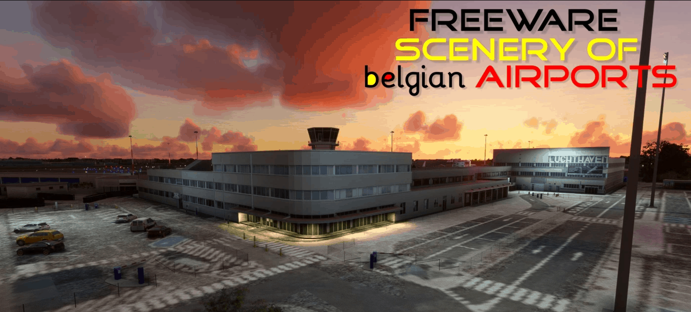
EBAW Antwerpen Deurne, Belgium v2.0.1
EBAW, Antwerpen, for MSFS2020 Antwerp International Airport (ANR/EBAW) is a small international airport serving Antwerp, the second most populous city of Belgium. Located 2.9 nautical miles (5.4 km; 3.3 mi) south of the city, it is used for some scheduled and charter flights as well as business and general aviation and served 110,320 passengers in 2012. The airport consists of one small passenger terminal with basic facilities including service desks and a restaurant. The apron features ten stands for smaller aircraft such as the Fokker 50. As there are no jet bridges, walk-boarding is used. Due to its short runway length only just over 1,510 m (4,900 ft), it is not possible to operate larger aircraft than the Boeing 737 or A320 at the airport. The airport was operated by the Department of Mobility and Public Works of the Flemish Government which made an agreement with the French engineering group Egis Group to operate it starting 2014 for a duration of 25 years. It is also home to several flying schools, aircraft maintenance and repair workshops, operators of business jets, to several hangars for private aircraft, and to the Stampe-Vertongen Museum. Big thanks to all of the following people who helped with the creation of this project: Johan P, Willy B, Paul S, Gustaaf V, Bob G, Katleen P, Luc DV, Paul C, Filip V. Without them it would simply have been impossible to complete. A special thank you goes out to the Airport Management and security for their extraordinary cooperation! Thanks to the following companies for allowing their properties to be photographed and included in this scenery (in no specific order) Egis, Flemish Government, RAAC, VLM, the Aviation Factory, AeroData, Europilot Center, Flying Group, BAFA, ASL, NextGen Aviation, Stampe & Vertongen Museum, Raymond’s Aircraft Restoration, BelAir, Lindsky Aviation, Vizion Air, Blue Sky Aviation. This MSFS2020 scenery is made by Jan Cuypers. The airport buildings were designed by Johan Peeters and been recompiled for MSF2020 by Jan Cuypers, with permission from Johan Peeters. Thank you, Johan for submitting also some static aircraft models you see on Apron 1 & 2. Some apron- and taxiway textures, and several buildings in the scenery are from google earth. The level of the Albert Canal has been corrected between Merksem and Massenhoven. Please also read the documents in the “Info v1 (FSX-P3D)” folder Installation 1. Unzip. 2. Place the folder “EBAW_MSFS2020” in the MSFS2020 community-map. GPS Coordinates: 51.1900 4.4630 MSFS 2020 Airports 2 Apr, 2021 MSFS 2020 Airports 7 Dec, 2020 MSFS 2020 Airports 26 Apr, 2021
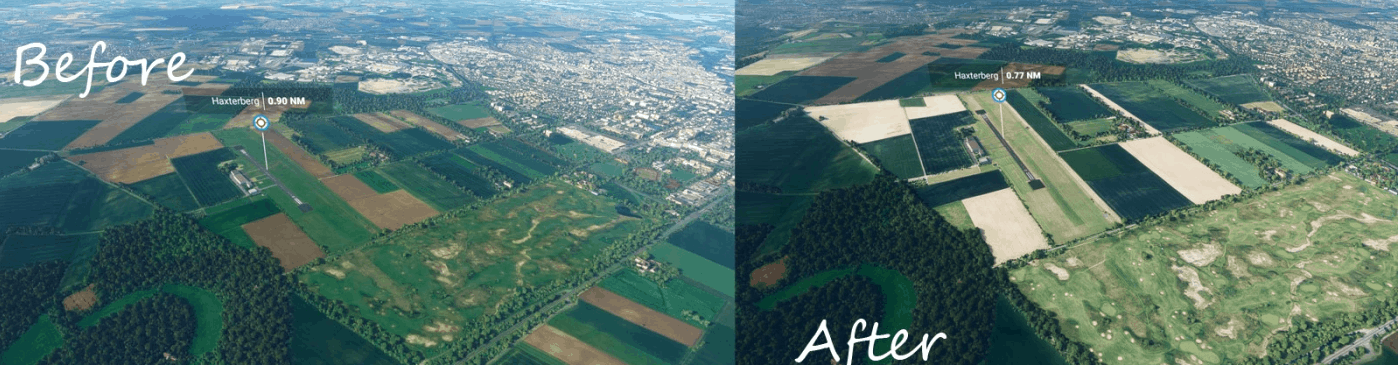
EDLR Paderborn-Haxterberg Aerials v1.0
I’ve created some better aerial images for for EDLR, Paderborn-Haxterberg airfield. If someone could provide me photos of the hangars and buildings, I could also add these to the airfield to make it look more realistic. Keep up with my current work flybyguy-scenery.blogspot.com and if you’d like to support me and you like my work: Support my coffee drinking habits during modelling and texturing and Buy me a coffee MSFS 2020 Airports 4 Dec, 2020 MSFS 2020 Airports 26 Jan, 2022 MSFS 2020 Airports 9 Apr, 2021
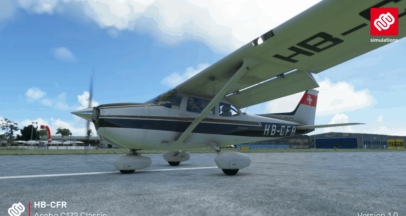
Asobo C172 (Classic) HB-CFR v1.0
To install the livery just copy and paste the folder “Asobo-c172classic_HBCFR” inside the zip file into your FS2020 Community folder. Versions v1.0 – 13.01.2021 (C) 13.01.2021 – Marco Bähler MSFS 2020 Liveries 27 May, 2021 MSFS 2020 Liveries 12 Nov, 2020 MSFS 2020 Liveries 2 Nov, 2021
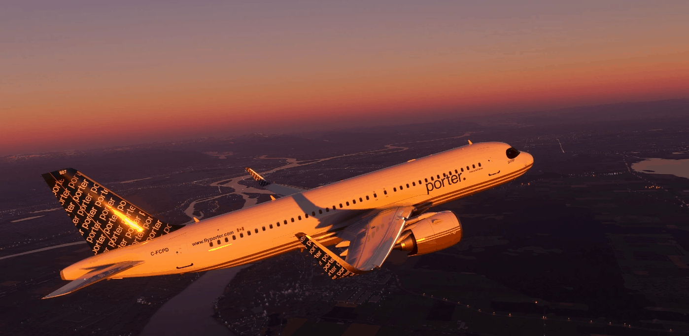
A320Neo Porter Airline -8K v1.0
Porter Airlines is a regional airline headquartered at Billy Bishop Toronto City Airport on the Toronto Islands in Toronto, Ontario, Canada. Owned by Porter Aviation Holdings, formerly known as REGCO Holdings Inc., Porter operates regularly scheduled flights between Toronto and locations in Canada and the United States using Canadian-built Bombardier Q400 turboprop aircraft. Please leave your comment and 5 STARS here, I really appreciate your support of my page. 1.0 Repaint porter Airline Glossy Resolution 8K High-resolution texture and logo Installation: To Install the livery, simply drag and drop to the community folder. MSFS 2020 Liveries 16 May, 2022 MSFS 2020 Liveries 28 Nov, 2021 MSFS 2020 Liveries 9 Dec, 2022
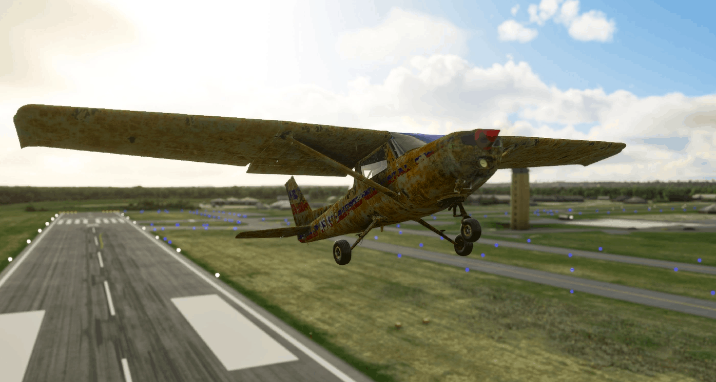
Rusty Mess v1.0
This is one messed up plane. I have made all nice clean liveries before so I decided to go in the opposite direction. This plane is a wreck inside and out. I understand planes dont exactly rust this way but since it is only a simulation let’s just say this one did. If you had a rough day, this livery should fit the mood. I think of this as a plane that has been in a swamp for a few years and all the owner did was hose it off and fix up the engine. Now this wreck is ready to take to the air. **** I uploaded a smaller file. Still over 100 megs but it includes all textures including all the comp textures. I did not want any shiny parts on this mess.**** MSFS 2020 Liveries 9 Nov, 2020 MSFS 2020 Liveries 3 Jun, 2021 MSFS 2020 Liveries 1 May, 2021
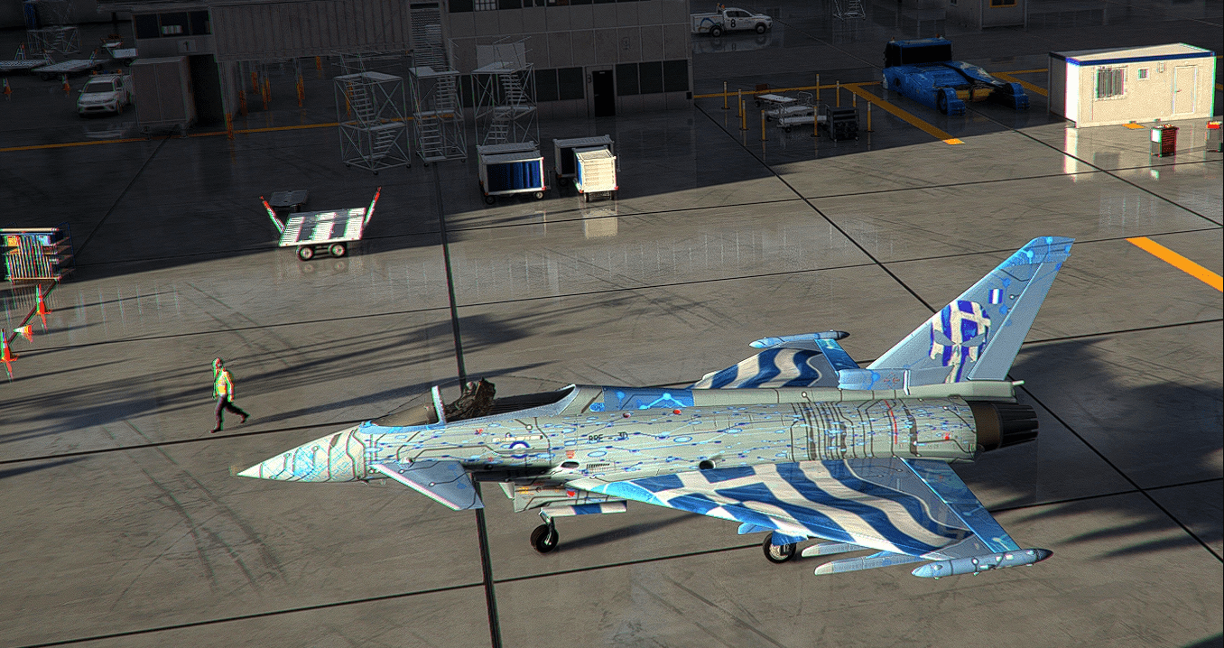
IAZ-EurofighterTyphoon-Livery Greece v1.0
This folder contains a repaint for the IAZ-EurofighterTyphoon. Greece does not have this aircraft,it was interested in getting it. Whatever i do,i do for fun,and i like to share them with you!! Reguirement To use this livery,you need the aircraft “IAZ-EurofighterTyphoon” made by Bredok3d Install Just unzip and drope the folder (IAZ-EurofighterTyphoon-Livery Greece) into community folder. If you like my work,please do consider supporting me,it does helps me for the time i insist doing this. MSFS 2020 Liveries 3 Aug, 2021 MSFS 2020 Liveries 21 Sep, 2021 MSFS 2020 Liveries 8 May, 2021
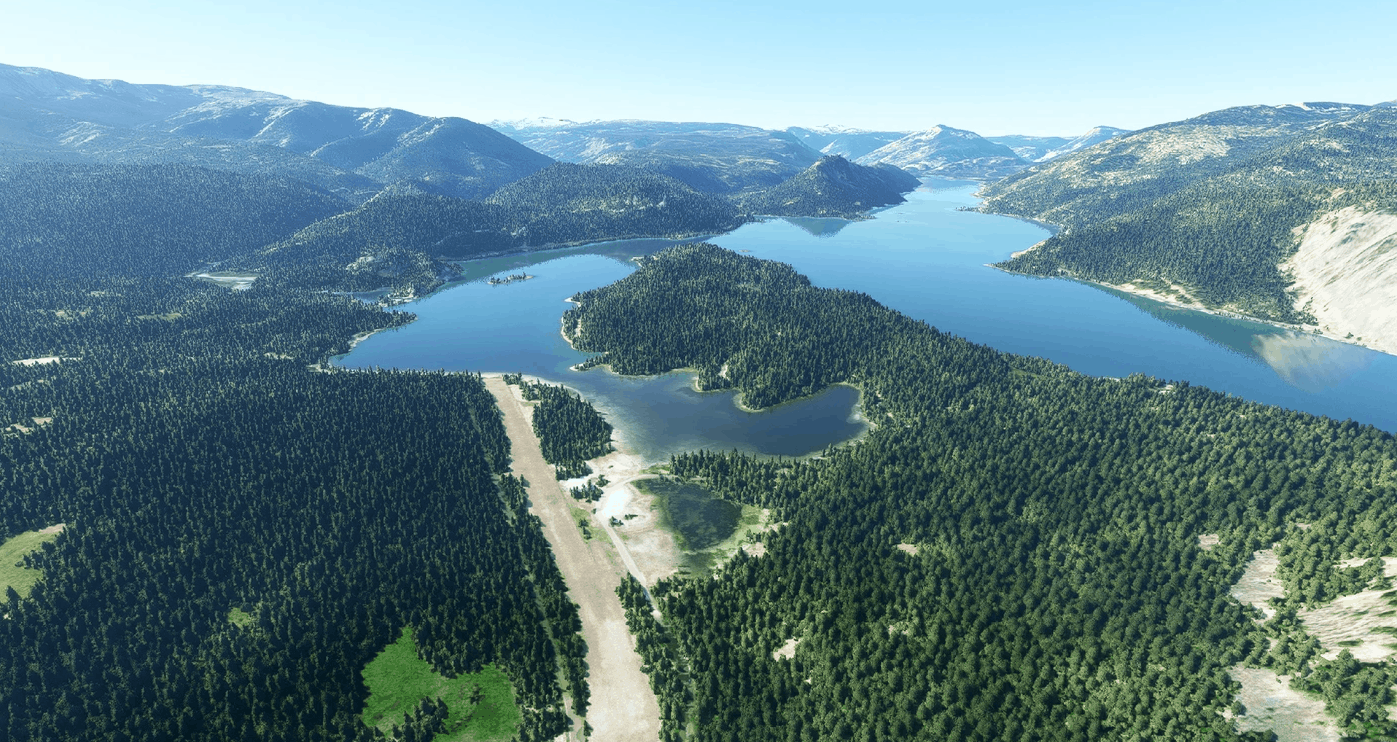
Tieton State Airport (4S6), WA, US v1.0
Tieton is a WSDOT (Washington State Department of Transportation) managed airport. It sits on the shore of Rimrock Lake, nearby Rimrock city and in front of the amazing Kloochman Rock, a jagged, immense, piece of rock rising almost 2000ft high. Ranger Creek is literally at a stone thrown away and Strom or Swanson make for a quick trip with some fantastic panoramic views over Mt. Rainer, St. Helens and Mt. Adams. The airport has a long and wide runway making comfortable access even to twin engines and light turboprops. Take altitute into account as the airport is at 3000ft altitude approximately, hot summer days could create air density concerns to account for. The area is a popular resort and outdoot activity site as you will see. A POI has been added for Kloochman Rock on the map. CREDITS – IMPORTANT NOTE – READ CAREFULLY In order for this scenario to work correctly you need to have installed Dave’s 3D People Libbrary by BadMed Many many thanks to BadMed for this precious library. GPS Coordinates: 46.636737, -121.125136 MSFS 2020 Airports 8 Nov, 2020 MSFS 2020 Airports 14 Sep, 2021 MSFS 2020 Airports 18 Oct, 2020
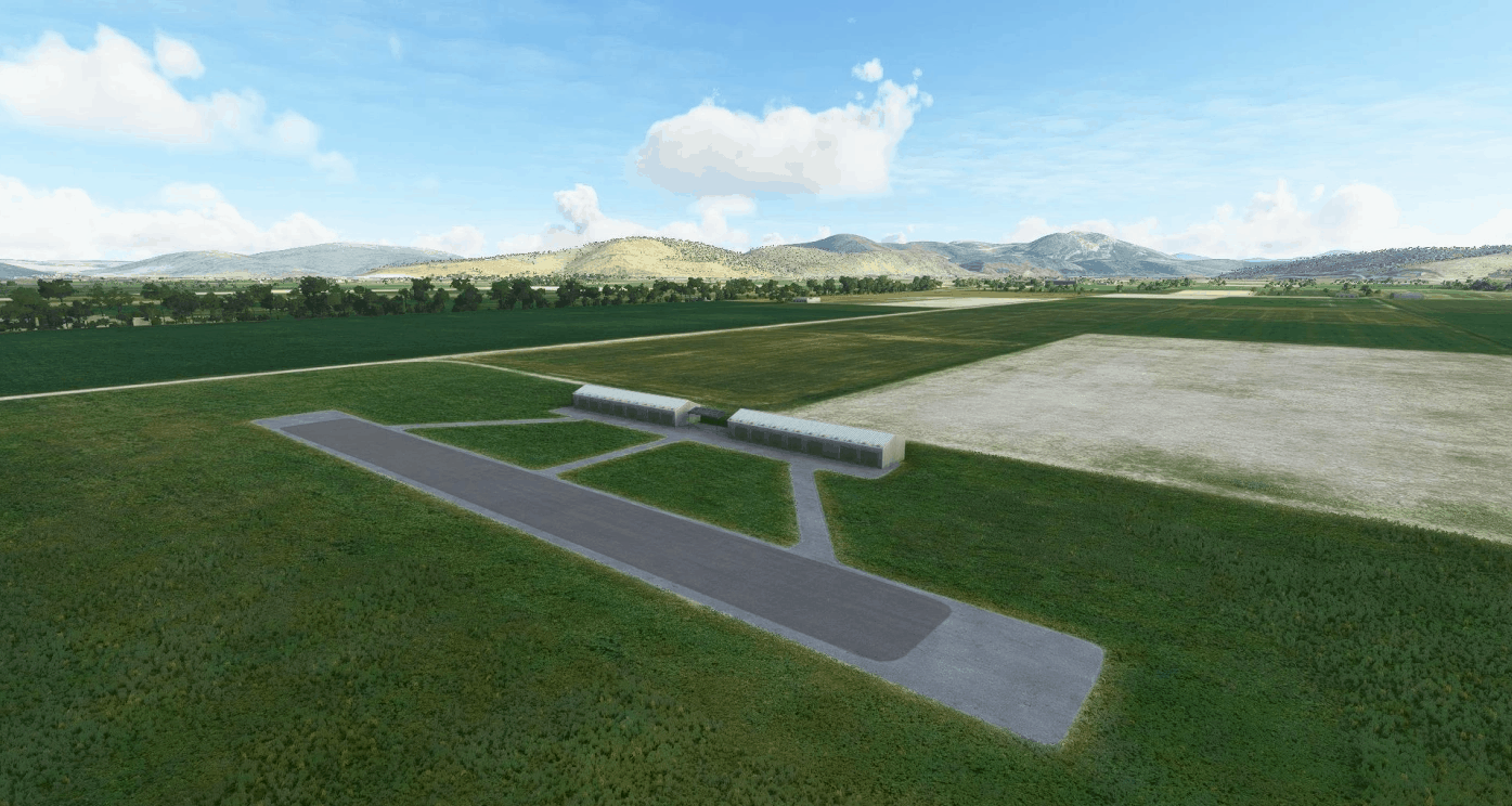
Kopaida airports v1.0
Kopaida airports by Vassilios Dimoulas January 2021 This is my first effort in MSFS. I have made these sceneries for FSX 10 years ago. They represent two fields in Kopaida plains 45 miles north west of Athens. Ikaros Airport is a private field, no longer operationl, hopefully to operate again under new management soon. It has a 2500ft asphalt runway with 09-27 heading, a small FBO/tower and apron. It does not exist by default in MSFS. The scenery gives it an imaginary ICAO of LGZZ. Kopaida-Dimitra is a grass field 1.5miles north of Ikaros. It has a 2000ft grass runway as well as a hangar an FBO/tower and space for RVs. It is hosting a free fall club, although different than the one depicted in the scenery which was active there 10 years ago but not now. A small model aircraft field exists just 1km to the east edge of the Ikaros runway. It has a 350ft long runway, so a good challenge for STOL practice. I have just converted the FSX sceneries and all my old objects to take advantage of the MSFS rendering capabilities and have not updated the locations at their current status. What you see is the situation 10 years ago. Installation: Just copy the vd-lgzz and vdi-lgak folders in the Community folder. You can find the fields as LGZZ and LGAK. A special thanks to Vitus for the fantastic Blender MSFS addon. The scenery is freeware. GPS Coordinates: 38.455599, 23.136939 MSFS 2020 Airports 22 Nov, 2021 MSFS 2020 Airports 26 Jan, 2021 MSFS 2020 Airports 27 Feb, 2021
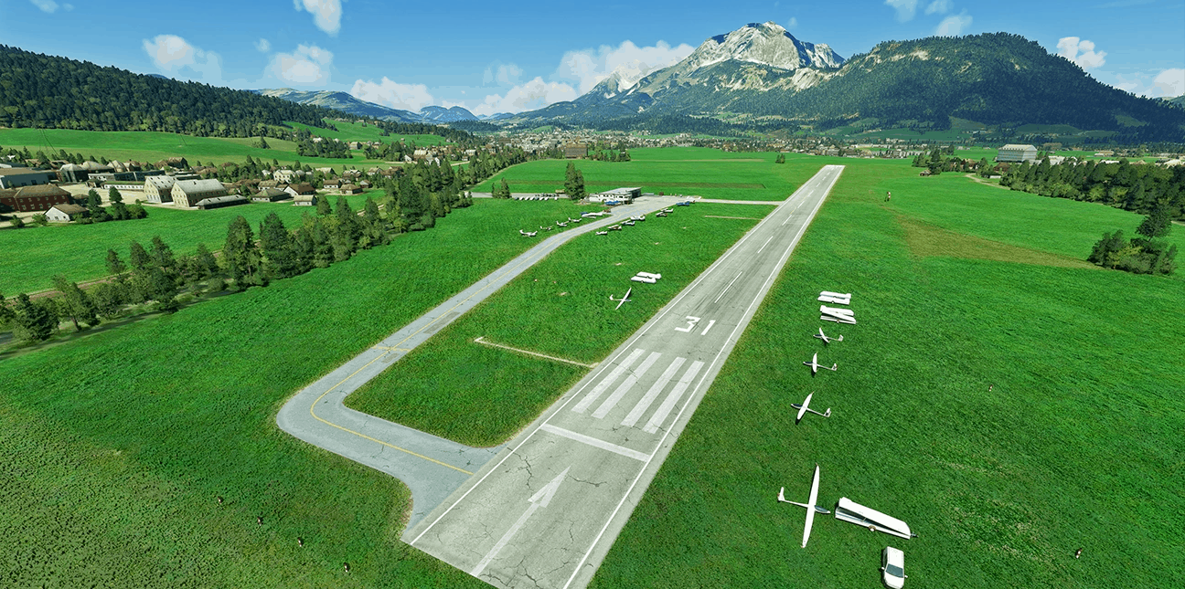
Fliegerclub St. Johann Tirol LOIJ v1.0
more aifields will follow, GPS Coordinates: 47°31’09.2″N 12°26’56.5″E MSFS 2020 Airports 4 Nov, 2021 MSFS 2020 Airports 27 Aug, 2021 MSFS 2020 Airports 10 Dec, 2020
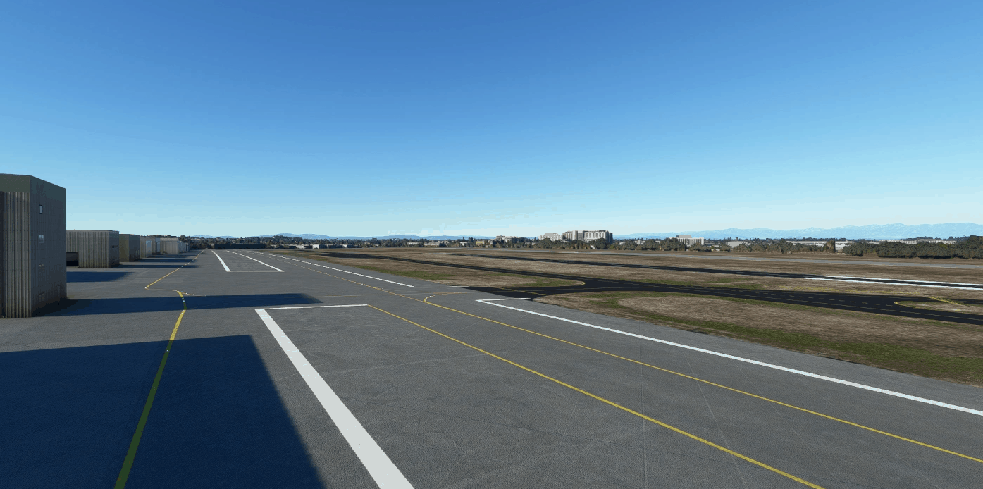
KTOA – Zamperini Field – BETA v0.3
THIS MOD IS VERY MUCH A WORK IN PROGRESS Features: Remade from scratch Enhanced taxiways Enhanced runways Enhanced aprons ALL FEED BACK IS APPRECIATED PLEASE DO NOT RE-BRAND THIS MOD GPS Coordinates: 33.801644987356404, -118.34166427123532 MSFS 2020 Airports 17 Oct, 2020 MSFS 2020 Airports 19 Jan, 2021 MSFS 2020 Airports 18 Oct, 2020
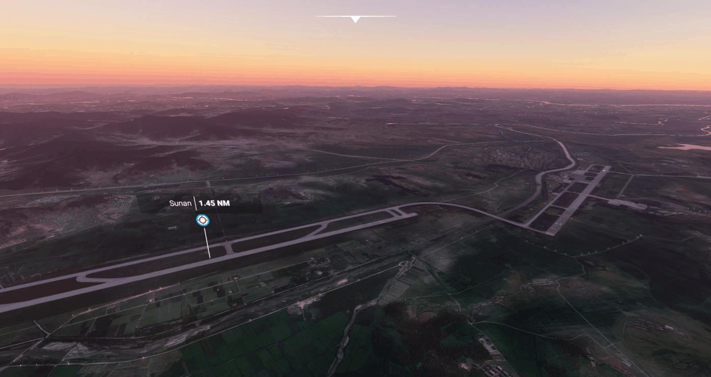
Pyongyang Sunan ZKPY Runway Fix v1.0
THE MSFS SDK IS TOO HARD, I WON’T BE UPDATING THIS SCENERY. This is a minor scenery improvement that recommissions runway 17/35 in MSFS, it restores the runway to how it was in around 2009. (Since the runway was rebuilt in around 2015) It seems Microsoft used data from when they were rebuilding the runway in MSFS. This also fixes the designators for runway 01/19, which for some wierd reason was 19L/01R or something like that. This scenery does NOT fix the terminal or the taxiways (yet) however it makes realistic flights into the airport possible. Installation: Like most things, just Drag N Drop the folder inside the zip into your community folder. GPS Coordinates: 39.200888, 125.676486 MSFS 2020 Airports 8 Dec, 2020 MSFS 2020 Airports 17 Nov, 2020 MSFS 2020 Airports 31 Jan, 2021
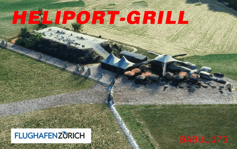
LSZH Heliportgrill v0.5.2
The famous “Heliport-Grill” with it’s old russian Helicopter and the “Spotterhill” of Zurich Airport. It is missing in the Simulatro and also in the FSDreamteam Zurich Airport. The scenery goes well with both, standard and FS Dreamteam Scenery. It was created using GoogleEarthDecoder. So thank’s a lot at the creator of that great tool. Model (C) google. I will release some enhancement scenery’s for the surounding of LSZH the next days. Be sure to check back. Regards Beat LSZH GPS Coordinates: 47.45234, 8.54624 MSFS 2020 Scenery 1 Nov, 2020 MSFS 2020 Scenery 3 Jan, 2021 MSFS 2020 Scenery 3 Jul, 2021
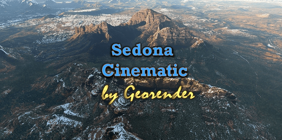
Sedona Cinematic v1.0
Sedona, Arizona, USA A Large area incorporating most of Sedona Arizona. Created for MSFS2020 By Richard ‘Georender’ Goldstein January 2021 I highly recommend at least one flight with the time set to August at around 8:20 in the evening with few clouds!!! It is not the final version, but I will wait until we have a suitable DEM SDK in order to create a definitive ground blending capability and refine the scenery complexity/region sizes etc. There are quite a few visual glitches, off colour textures, missing sections, holes etc. Not including those areas didn’t seem like an option so they are included warts ‘n all. There’s a large missing texture in one area, just avert your eyes. there is plenty else to look at. Hopefully fixed in next version. At present it is not possible to land on the detailed scenery areas. They are not solid in this respect. Hopefully that can change in the future. The scenery is very efficiently created, but loading times will be slightly longer than usual. Especially if you are not using an SSD drive for scenery. I highly recommend that you add one or two centimeters of snow for terrain blending purposes. Furthermore, the blue tint of sky reflected off of the snow adds a colour which is complimentary to the orange rocks and this enhances the depth and realism of the terrain relief. Try different times of day and various weather conditions. Each has its own charm. INSTALLATION: Unzip. Then place all seven folder that are prefixed with ‘Geo_’ into your Community folder. Thats all there is to it. In your Community folder you will have seven new folders with the prefix Geo_Sedona….. followed by a number. How to find the scenery region Go to Sedona airport ICAO KSEZ. CREDITS Thanks go to Jonahex111 for his brilliant ‘Google Earth Decoder’ tool. All terrain data owned by Google. This scenery cannot be sold or used in a commercial product. I do not own any part of it. MSFS 2020 Scenery 27 Dec, 2020 MSFS 2020 Scenery 31 Jul, 2021 MSFS 2020 Scenery 24 Sep, 2022
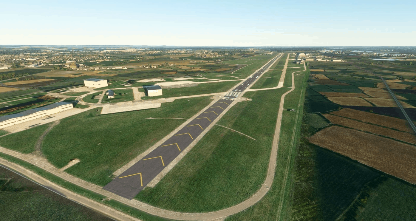
ETSN Neuburg Airport Fliegerhorst Neuburg v0.1.0
ETSN – Neuburg Airport / Fliegerhorst Neuburg for Microsoft Flight Simulator 2020 This is an early version of the Neuburg Air Base / Fliegerhorst Neuburg. The airport can be found on the world map: “ETSN Fliegerhorst Neuburg, Neuburg a.d.Donau” Package contains – Aerial imagery in higher resolution – Runway with start positions on both ends – Runway lights for night landings Still to come – Taxyway paths – Parking spots – Configuration for ATC and AI – Accurate airport details (runway, textures, lights, etc.) General airport information ICAO: ETSN Coordinates: N48°42.66′ / E11°12.68′ Decimal Degrees: 48.710997 11.211500 MSFS 2020 Airports 8 Feb, 2021 MSFS 2020 Airports 10 Nov, 2020 MSFS 2020 Airports 12 Nov, 2020
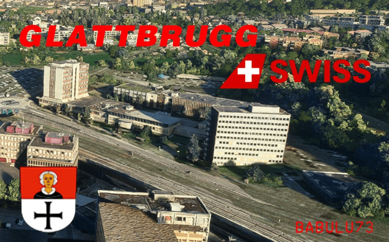
Glattbrugg Swiss v0.5.2
This is the first of three Sceneries, enhancing the Airport of Zurich (LSZH) around the approach of Runway 34. The scenery includes Lufthansa Training Site just behind the airport, as well as part of the hills behind. There will be Part 2 and Part 3, making the whole surrounding fo the Airport Complete. Scenery has been testes with FSDreamteam Zurich Airport and there are no problems with it. Scenery was created using GoogleEarthDecoder. Thanks for developing that tool. Models are from Google, so the credits for the 3D goes to Google of course! Have fun flying! Beat LSZH GPS Coordinates: 47.44426, 8.57142 MSFS 2020 Scenery 14 Jul, 2021 MSFS 2020 Scenery 20 Nov, 2020 MSFS 2020 Scenery 20 Jan, 2021
- 15 per page
- 30 per page
- 45 per page
- 60 per page
-
See more per page
Bigger pages, fewer clicks - and no ads anywhere.
Go Pro