Microsoft Flight Simulator mods
109,300 results- 15 per page
- 30 per page
- 45 per page
- 60 per page
-
See more per page
Bigger pages, fewer clicks - and no ads anywhere.
Go Pro
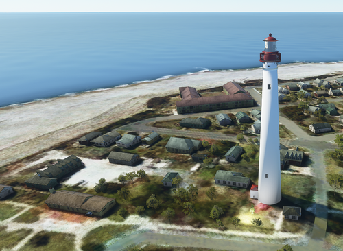
Cape May Lighthouse, Cape May New Jersey
Explore the historic Cape May Lighthouse in New Jersey, meticulously hand modeled in Blender. Updated to feature a functional light for nighttime flights, including a flashing red caution light. Part of a series of New Jersey lighthouses to enhance your Microsoft Flight Simulator experience. Simply drag the folder to your FS2020 "Community" folder to install.
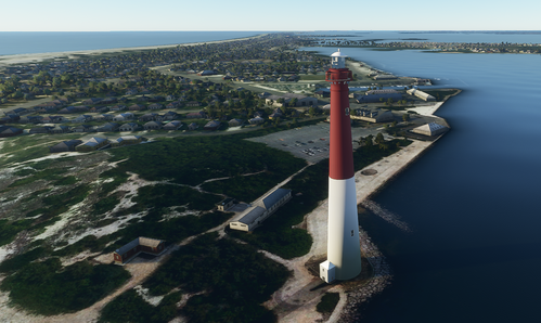
Barnegat Lighthouse, Barnegat Light, New Jersey
Explore the iconic "Old Barney" at Barnegat Lighthouse, NJ, meticulously recreated for Microsoft Flight Simulator. The updated add-on features a rotating white light and a red flashing caution light, enhancing your flight experience near this historic landmark. This detailed model is part of a series of New Jersey lighthouses created from scratch by the developer. Discover this must-see location in the virtual skies with just a simple installation into your simulators "Community" folder.
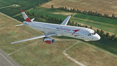
Austrian (myAustrian) A321
Explore the detailed Austrian Airlines (myAustrian) A321 livery in Microsoft Flight Simulator.

Chalon-sur-Saône city, France v4.0
La ville de Chalon-sur-Saône et sa périphérie (LOD 17-19) Optimisation avec les outils développés par Thalixte Ajout d’excludes pour les packs d’objets ou de bâtiments (Obstacles et repères France VFR) Extraire dans le répertoire community. GPS Coordinates: 46.785987, 4.848083 MSFS 2020 Scenery 11 Jan, 2021 MSFS 2020 Scenery 13 Jul, 2022 MSFS 2020 Scenery 25 Oct, 2020
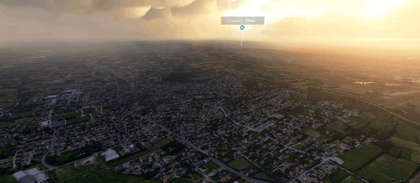
Caumont-sur-Durance city, France v4.0
Les villes de Caumont-sur-Durance de Saint-Saturnin-lès-Avignon et de Châteauneuf-de-Gadagne (LOD 17-19) Zone à l’est de LFMV Avignon Provence Optimisation avec les outils développés par Thalixte Ajout d’excludes pour les packs d’objets ou de bâtiments (Obstacles et repères France VFR) Extraire dans le répertoire community. MSFS 2020 Scenery 20 Nov, 2020 MSFS 2020 Scenery 12 Jan, 2021 MSFS 2020 Scenery 26 Dec, 2020
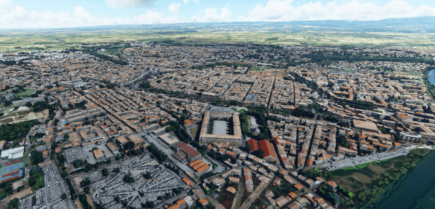
Carcassonne city, France v4.0
La ville de Carcassonne et sa périphérie (LOD 17-19) La cité en LOD 17-20 Optimisation avec les outils développés par Thalixte zone sans photogrammétrie laissés en autogen Ajout d’excludes pour les packs d’objets ou de bâtiments (Obstacles et repères France VFR) Extraire dans le répertoire community. GPS Coordinates: 43.215298, 2.353040 MSFS 2020 Scenery 4 Aug, 2021 MSFS 2020 Scenery 16 Feb, 2021 MSFS 2020 Scenery 6 Jan, 2021
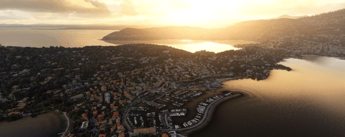
Saint-Jean-Cap-Ferrat city, France v4.0
La ville de Saint-Jean-Cap-Ferrat et de Beaulieu-sur-Mer (LOD 17-19) Optimisation avec les outils développés par Thalixte Ajout d’excludes pour les packs d’objets ou de bâtiments (Obstacles et repères France VFR) Extraire dans le répertoire community. GPS Coordinates: 43.690515, 7.329413 MSFS 2020 Scenery 20 Oct, 2020 MSFS 2020 Scenery 30 Oct, 2020 MSFS 2020 Scenery 9 Mar, 2021
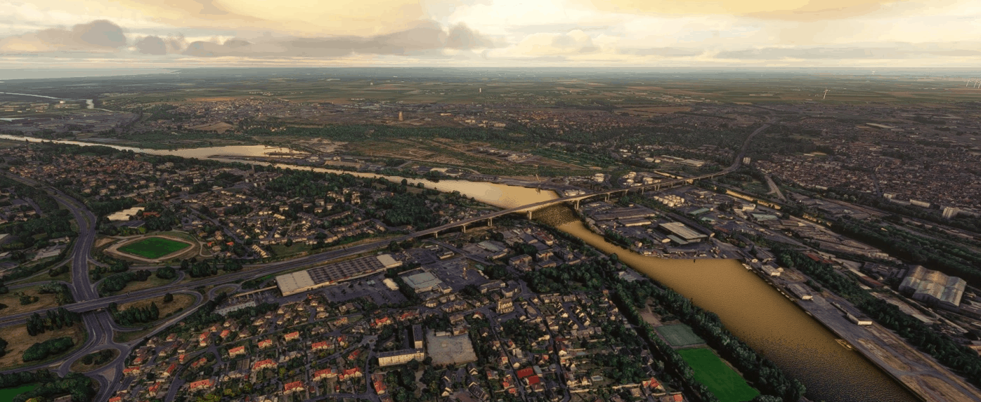
Caen city, France v4.0
La ville de Caen et sa périphérie (LOD 17-19) Optimisation avec les outils développés par Thalixte Ajout d’excludes pour les packs d’objets ou de bâtiments (Obstacles et repères France VFR) Extraire dans le répertoire community. MSFS 2020 Scenery 22 Dec, 2020 MSFS 2020 Scenery 31 Oct, 2020 MSFS 2020 Scenery 12 Nov, 2020
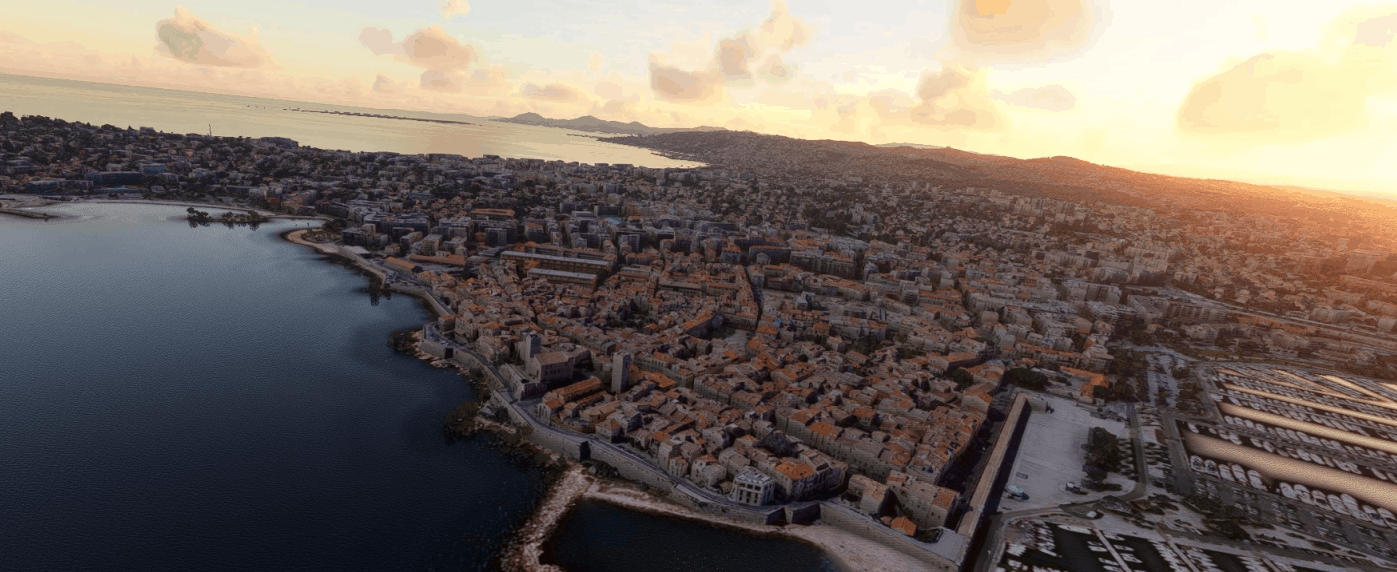
Antibes city, France v4.0
La ville d’Antibes et sa grande périphérie (LOD 17-19) Optimisation avec les outils développés par Thalixte Ajout d’excludes pour les packs d’objets ou de bâtiments (Obstacles et repères France VFR) Extraire dans le répertoire community. GPS Coordinates: 43.581484, 7.124600 MSFS 2020 Scenery 24 Jul, 2021 MSFS 2020 Scenery 8 Jun, 2021 MSFS 2020 Scenery 24 Jan, 2021
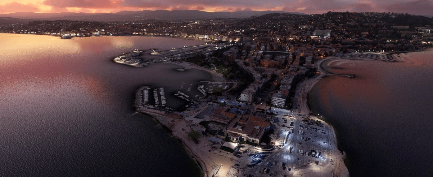
Cannes city, France v4.0
La ville de Cannes et sa périphérie (LOD 17-19) Optimisation avec les outils développés par Thalixte Ajout d’excludes pour les packs d’objets ou de bâtiments (Obstacles et repères France VFR) Extraire dans le répertoire community. GPS Coordinates: 43.552283, 7.019118 MSFS 2020 Scenery 15 Dec, 2020 MSFS 2020 Scenery 6 Feb, 2021 MSFS 2020 Scenery 5 Oct, 2020
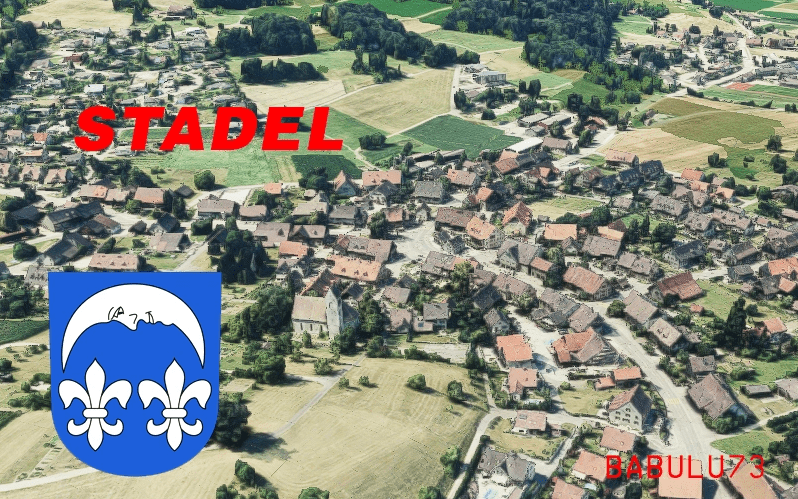
Stadel v0.5.2
This is the small town of Stadel. It’s in the approach corridor of runway 14 / 16 of Zurich airport. It has the “Stadlerberg” that was scene of a tragic incidence in the 1990s. The scenery is part of the enhancement of the scenery of the approach to zurich, together with the towns of neerach and hoeri and hochfelden. I SUGGEST ONLY ACTIVATING THE TOWNS YOU FLY OVER ON YOUR APPROACH, as all of them together could end in a drop of framerates. They are optimized, but still google earth files tend to be quite big. Scenery was created using GoogleEarthDecoder by Jonahex111 (available on reddit). Thank you for developping such a great tool! I also used the optimising tools by thalixte (available on reddit as well) on that scenery. Another amazing piece of Software!The models are out of google Earth, so (C) for 3d models lies by google.I enhanced the sceney with some lights. They where created by miguel88 (search for 11-colors-lights-pack-from-blender-1-0). Have fun flying!Beat LSZH GPS Coordinates: 47.52803, 8.46732 MSFS 2020 Scenery 10 Aug, 2021 MSFS 2020 Scenery 19 Jun, 2021 MSFS 2020 Scenery 15 Jan, 2021
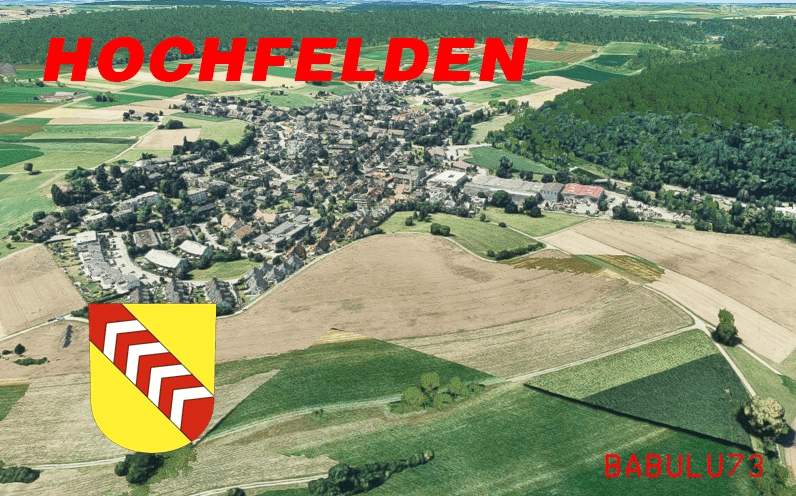
Hochfelden v0.5.2
The town of Hochfelden is located near Bülach. It’s one of the small towns surrounding Zurich Airport. It’s part of my scenery enhancement Project, to bring the surrounding and the Approach of Runway 14 / 16 of LSZH to life. This scenery includes also the “Hirslen” icefield of Bülach nearby. I SUGGEST ONLY ACTIVATING THE SCENERY WHEN YOU ARRIVE ON RUNWAY 14/16. If you have all the scenery activated all of the time, it could be a bit heavy on your framerate, as Google Earth Scenery tend to be a bit heavy even if optimised. Scenery was created using GoogleEarthDecoder by Jonahex111 (available on reddit). Thank you for developping such a great tool! I also used the optimising tools by thalixte (available on reddit as well) on that scenery. Another amazing piece of Software!The models are out of google Earth, so (C) for 3d models lies by google.I enhanced the sceney with some lights. They where created by miguel88 (search for 11-colors-lights-pack-from-blender-1-0). Have fun flying!Beat LSZH GPS Coordinates: 47.52224, 8.51749 MSFS 2020 Scenery 11 Oct, 2020 MSFS 2020 Scenery 17 Mar, 2021 MSFS 2020 Scenery 21 Mar, 2021
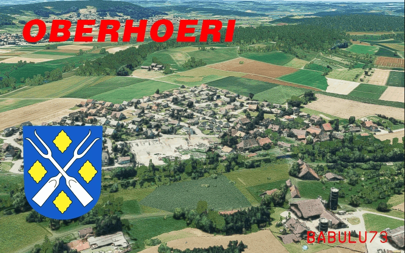
Oberhoeri v0.5.2
This is Oberhöri. The part of the town located between Neerach and Höri (both uploaded here already). The scenery is part of the photogammetry enhancing of the arrival at Zurich airport on Rwy 14 / 16. Scenery was created using GoogleEarthDecoder by Jonahex111 (available on reddit). Thank you for developping such a great tool! I also used the optimising tools by thalixte (available on reddit as well) on that scenery. Another amazing piece of Software!The models are out of google Earth, so (C) for 3d models lies by google.I enhanced the sceney with some lights. They where created by miguel88 (search for 11-colors-lights-pack-from-blender-1-0). Have fun flying!Beat LSZH GPS Coordinates: 47.50409, 8.49677 MSFS 2020 Scenery 2 Oct, 2020 MSFS 2020 Scenery 23 Oct, 2020 MSFS 2020 Scenery 3 Oct, 2020
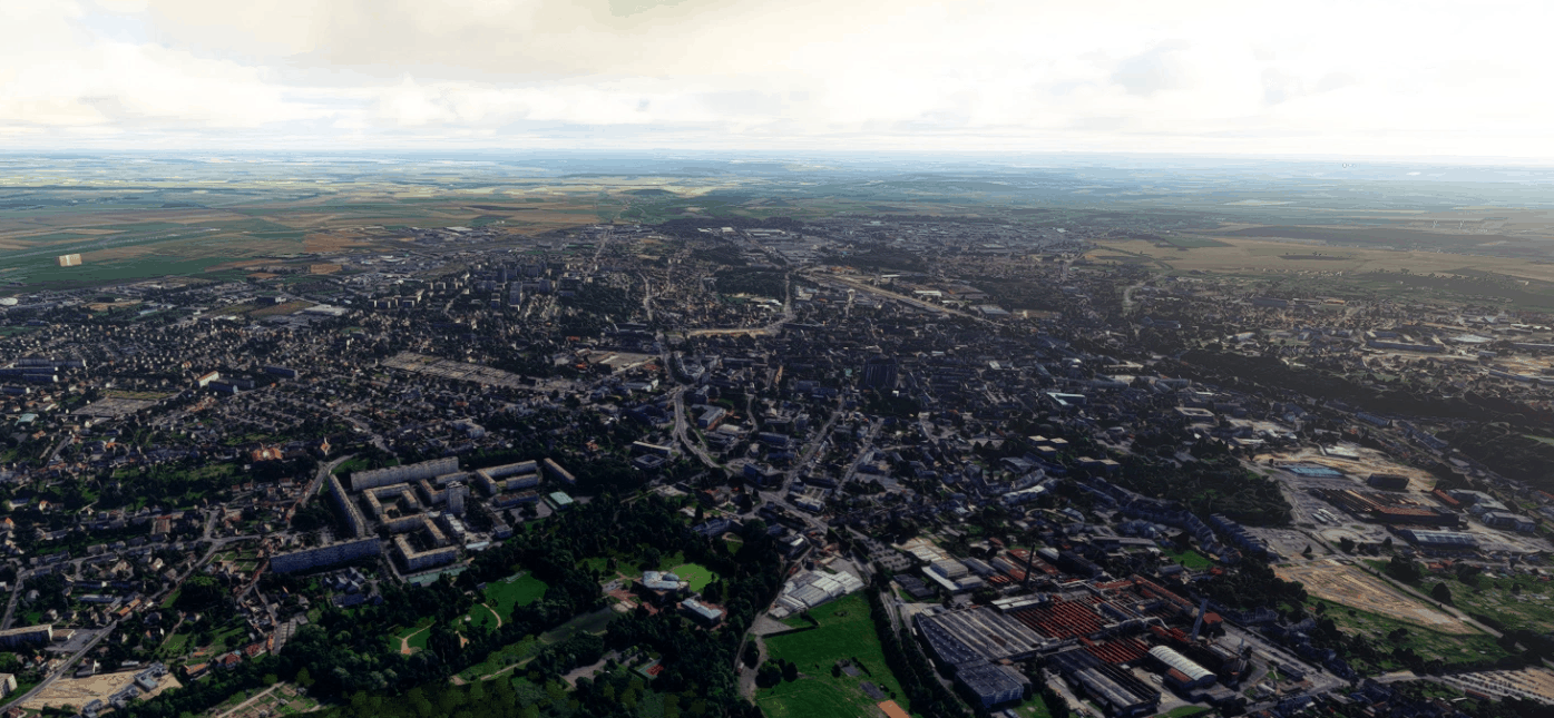
Beauvais city, France v4.0
La ville de Beauvais et sa périphérie (LOD 17-19) Optimisation avec les outils développés par Thalixte Ajout d’excludes pour les packs d’objets ou de bâtiments (Obstacles et repères France VFR) Extraire dans le répertoire community. GPS Coordinates: 49.432064, 2.085427 MSFS 2020 Scenery 19 Oct, 2020 MSFS 2020 Scenery 14 Dec, 2020 MSFS 2020 Scenery 30 Sep, 2020

THOMAS COOK OLD BLUE LIVERY
Add a touch of nostalgia to your flights with the Old Blue Thomas Cook a320 Livery. Request custom liveries on the associated discord server. Happy flying! Thank you for your support. - xXxHushedFlyerXxX
- 15 per page
- 30 per page
- 45 per page
- 60 per page
-
See more per page
Bigger pages, fewer clicks - and no ads anywhere.
Go Pro