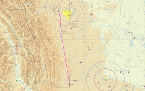
Calgary Springbank to Pincher Creek VFR flight plan route
Discover a detailed VFR flight plan route from Calgary Springbank to Pincher Creek, utilizing VRPs from the VFR terminal chart for navigation. Covering a distance of 97nm, enjoy a 37-minute journey in a DA-62 with a minimum enroute altitude of 7500 feet. The package includes a reverse route for added flexibility and easy installation instructions for a seamless experience in Microsoft Flight Simulator.
Download Links
Report a problem
Calgary Springbank to Pincher Creek VFR flight plan route
Advertisement
Remove ads