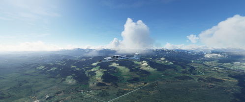
Southern Alberta Foothills
Explore the picturesque Southern Alberta Foothills with this VFR flight plan, starting from Calgary Springbank and journeying over Black Diamond area and majestic mountains. The route covers a total distance of 112 nm with a minimum enroute altitude of 7500. Discover the beauty of Pincher Creek, Fort Macleod, Claresholm airport, and High River before returning back to Springbank in this scenic adventure. Based on a YouTube flight experience, this add-on offers a realistic and immersive flying experience over stunning landscapes.
Download Links
Report a problem
Southern Alberta Foothills
Advertisement
Remove ads