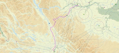
Fort St. John BC to Prince George VFR flight plan route
Explore the scenic VFR route from Fort St. John BC to Prince George BC with this GPS flight plan. Fly over Chetwynd, traverse the Pine Pass, and descend into Prince George for a total distance of 212 nm. Simply load the plans from your map screen and navigate using NAV mode. Recommended enroute altitude is 4500 feet or higher.
Download Links
Report a problem
Fort St. John BC to Prince George VFR flight plan route
Advertisement
Remove ads