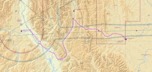
VFR Pincher Creek to Cranbrook flightplan
Discover the picturesque VFR route from Pincher Creek CZPC to Cranbrook CYXC, guiding you through the stunning Crowsnest Pass, Fernie, and the Kootenay River. Experience a 108 nm journey in approximately 1 hour in a Cessna 172, with the minimum safe enroute altitude set at 8500 feet westbound. Explore the reverse flightplan for a different perspective on this scenic flight.
Download Links
Report a problem
VFR Pincher Creek to Cranbrook flightplan
Advertisement
Remove ads