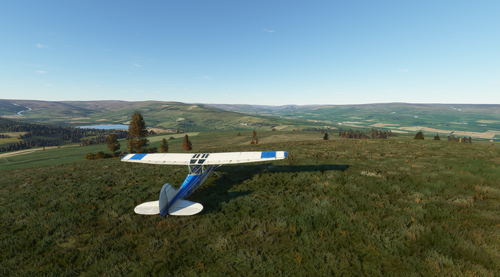
Yorkshire Dales peaks flight plan
Experience an aerial tour of the Yorkshire Dales highest peaks with this 93-nautical mile flight plan. Starting from Oxenhope near Bradford, fly in a clockwise order to discover iconic landmarks like Pen-y-ghent and Ingleborough. The package includes flight plans for MSFS and Little Navmap formats, offering a detailed and scenic journey for virtual pilots. Remember to maintain a safe altitude of 3,500 feet and land on some of the peaks to enjoy the breathtaking views along the way.
Download Links
Report a problem
Yorkshire Dales peaks flight plan
Advertisement
Remove ads