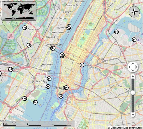
World Helipad Data for LittleNavMap
Discover and explore helicopter landing sites around the world with this comprehensive dataset for LittleNavMap. Imported from OpenStreetMap and OpenAIP, this add-on includes over 60,000 userpoints split into three regions for seamless helicopter-centric flight planning. Be sure to check the installation instructions before exploring all regions, and support the creator by buying them a coffee.
Download Links
Report a problem
World Helipad Data for LittleNavMap
Advertisement
Remove ads