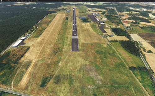
LFJR - ANGERS/Marcé - Aerial HR-02
Aerial High Resolution scenery add-on for LFJR - Angers/Marcé Airport featuring 20cm detail level for the airport and surrounding area. Includes data sources from BD, ORTHO®, OpenData, and IGN. Collaboration credits to Microsoft Asobo, Arno Gerretsen, and MSFS Toolkit by Nool Aerosystems.
Download Links
Report a problem
LFJR - ANGERS/Marcé - Aerial HR-02
Advertisement
Remove ads