Google Maps and OpenStreetMap for Microsoft Flight Simulator
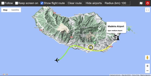
Track your flight in Microsoft Flight Simulator with Google Maps and OpenStreetMap support using this web application. Monitor your aircrafts altitude with colored routes and easily find nearby airports. This open source project allows for interactive map viewing on various devices with a web browser.
Download Links
Report a problem
Google Maps and OpenStreetMap for Microsoft Flight Simulator
Advertisement
Remove ads