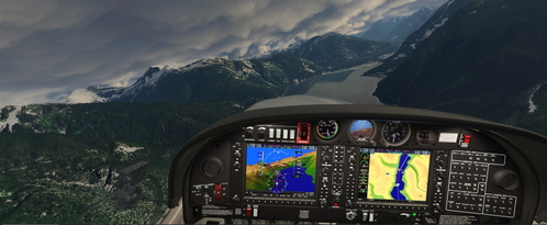
VFR GPS Flightplan route Bella Bella Campbell Island to Bella Coola
Flight Simulator add-on for a VFR GPS flightplan route from Bella Bella Campbell Island to Bella Coola. Trip distance is approximately 60 nm with a minimum enroute altitude of 2500. Reverse plan included for convenience. Simply load the .pln files into your "localstate" folder to access them from the main map window in the simulator. Bella Bella scenery available separately.
Download Links
Report a problem
VFR GPS Flightplan route Bella Bella Campbell Island to Bella Coola
Advertisement
Remove ads