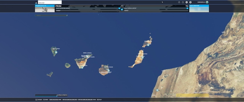
CanaryDEM
CanaryDEM provides an alternative Digital Elevation Model for the Canary Islands with 2-meter resolution, enhancing terrain details such as mountains, hills, and coastlines. Compiled with MSFS Toolkit by Nool Aerosystems, this add-on offers improved relief quality for your Microsoft Flight Simulator experience. Note that there may be occasional spike issues near the coast. Credits to CNIG for the elevation models used, and the add-on is licensed under CC BY-NC-SA 4.0 by creator Chris.
Download Links
Report a problem
CanaryDEM
Advertisement
Remove ads