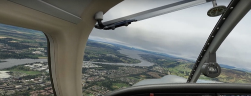
River Clyde flight plan
Explore the 90 nautical mile route following the River Clyde from its source to its mouth. This flight plan includes detailed scenery for Bute Airport (EGRT) and is available in both MSFS and Little Navmap formats. Journey from Stonehill Farm (EGJS), passing through picturesque landmarks like Glasgow, Glasgow Airport, and the scenic Firth of Clyde.
Download Links
Report a problem
River Clyde flight plan
Advertisement
Remove ads