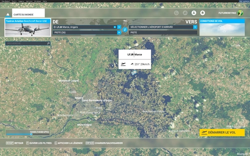
LFJR - ANGERS/Marcé - Aerial 1M - East Maine-et-Loire - 02
Aerial 1-meter resolution add-on covering eastern Maine-et-Loire, enhancing scenery with corrected BingMap textures, removed auto-generated content, and improved vegetation integration from TOPO database. Complements LFJR - ANGERS/Marcé Airport and includes colorometric adjustments for ANGERS City update II. Developed with contributions from Microsoft Asobo and MSFS Toolkit.
Download Links
Report a problem
LFJR - ANGERS/Marcé - Aerial 1M - East Maine-et-Loire - 02
Advertisement
Remove ads