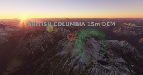
British Columbia, 15m DEM - High Resolution Terrain Elevation Data from LIDAR Imaging Part 2
Enhance your flying experience over British Columbia with this mod featuring high-resolution LIDAR DEM data for accurate terrain elevation. Includes realistic mountain shapes, flattened lakes & rivers, and over 150 airports. Note: Download both files for full coverage. Explore the beauty of British Columbia with improved terrain details while flying in Microsoft Flight Simulator.
Download Links
Report a problem
British Columbia, 15m DEM - High Resolution Terrain Elevation Data from LIDAR Imaging Part 2
Advertisement
Remove ads