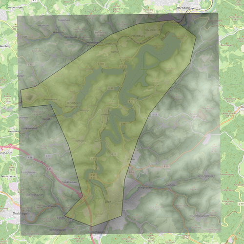
Bigge-Lister-Lakes LIDAR 1m DEM
Explore the Bigge-Lister-Lakes area in North Rhine Westphalia - Sauerland with this high-resolution LIDAR digital elevation model add-on. Experience realistic topography with 1m horizontal and 0.1m vertical resolution, but please note some known issues with elevation changes and water levels. Fly low over the lakes from the recommended airfield for an immersive experience. Credits to Paavo for the MSFS Toolkit used in creating this mod.
Download Links
Report a problem
Bigge-Lister-Lakes LIDAR 1m DEM
Advertisement
Remove ads