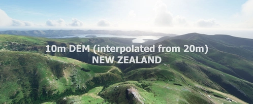
NEW ZEALAND 10m DEM - High Resolution Terrain Elevation Data interpolated from 20m - Part 2
High Resolution Terrain Elevation Data for New Zealand (Part 2 of 2) featuring a 10m elevation profile interpolated from a 20m model. Customized height profiles and detailed mesh for immersive VFR flying experiences. Compatible with MSFS, installation instructions include downloading and extracting all files to the community folder. Disclaimer: Potential performance issues at high speeds or altitudes due to loading of high-resolution terraforming rectangles.
Download Links
Report a problem
NEW ZEALAND 10m DEM - High Resolution Terrain Elevation Data interpolated from 20m - Part 2
Advertisement
Remove ads