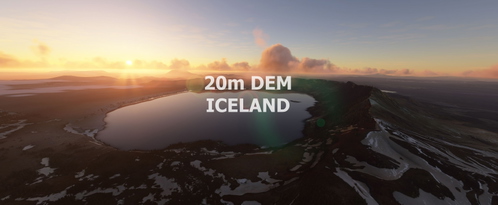
ICELAND 20m DEM - High Resolution Terrain Elevation Data from LIDAR and other height profiles
Explore Iceland with this high-resolution terrain elevation data add-on featuring LIDAR DEM and other height profiles at a 20m mesh resolution. Get realistic mountain shapes, flattened lakes and rivers, and a smooth terrain experience with no artifacts. Perfect for VFR flights over Iceland, though may not be suitable for high-altitude airliner flying due to potential performance impact.
Download Links
Report a problem
ICELAND 20m DEM - High Resolution Terrain Elevation Data from LIDAR and other height profiles
Advertisement
Remove ads