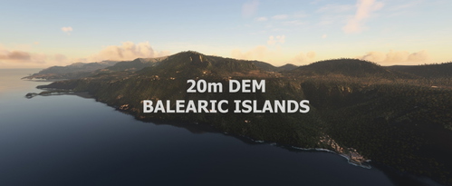
Spain Balearic Islands 20m DEM - High Resolution Terrain Elevation Data from LIDAR Imaging
Explore the Balearic Islands with this high-resolution terrain elevation data add-on, featuring customized height profiles and LIDAR DEM data with a 20m mesh resolution. Enjoy realistic mountain shapes, flattened lakes and rivers, and a removal of terrain artifacts for an immersive flying experience. Credits to the creators for their dedication in bringing this detailed elevation data to Microsoft Flight Simulator. Fly VFR above the Balearic Islands and enhance your simulation experience.
Download Links
Report a problem
Spain Balearic Islands 20m DEM - High Resolution Terrain Elevation Data from LIDAR Imaging
Advertisement
Remove ads