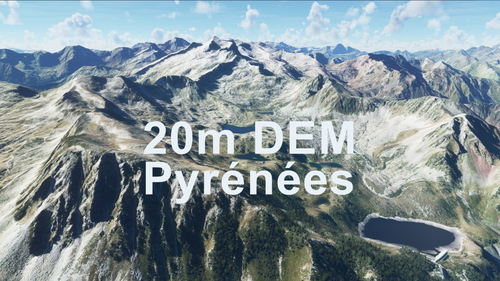
PYRENEES 20m DEM - High Resolution Terrain Elevation Data from LIDAR Imaging
Explore the Pyrenees mountain range with this high-resolution terrain elevation data add-on featuring LIDAR imaging technology. With a mesh resolution of 20m and height accuracy up to 0.1m, experience realistic mountain shapes, flattened lakes, and rivers without terrain artifacts. Please note potential performance issues when flying fast or at high altitudes, and simply unzip and copy the downloaded folders into your community folder for installation. Enjoy detailed VFR flights over Spain and Andorra!
Download Links
Report a problem
PYRENEES 20m DEM - High Resolution Terrain Elevation Data from LIDAR Imaging
Advertisement
Remove ads