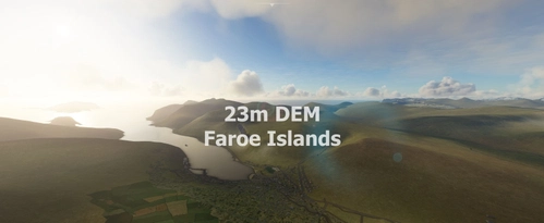
Faroe Islands 23m DEM - High Resolution Terrain Elevation Data from SRTM Arc 1"
High Resolution Terrain Elevation Data for the Faroe Islands, featuring a customized mesh resolution of 23m. Please note potential performance impacts and consider adjusting rendering settings if experiencing stutters. Explore the stunning landscape of the Faroe Islands in Microsoft Flight Simulator with this detailed elevation data mod.
Download Links
Report a problem
Faroe Islands 23m DEM - High Resolution Terrain Elevation Data from SRTM Arc 1"
Advertisement
Remove ads