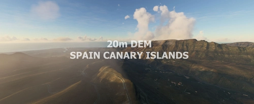
Spain Canary 20m DEM - High Resolution Terrain Elevation Data from LIDAR Imaging
High Resolution Terrain Elevation Data for the Canary Islands, featuring a 20m mesh resolution derived from LIDAR imaging. Enhances mountain shapes, smooths lakes and rivers, eliminating terrain anomalies for a more realistic experience. Caution: High-res mesh may result in performance-related issues; recommended for VFR flights at lower altitudes. Credits to the data source and tool creators for their contributions to this mod.
Download Links
Report a problem
Spain Canary 20m DEM - High Resolution Terrain Elevation Data from LIDAR Imaging
Advertisement
Remove ads