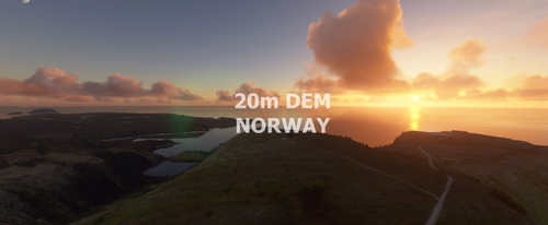
NORWAY 20m DEM Part 2 - High Resolution Terrain Elevation Data from LIDAR Imaging
High Resolution Terrain Elevation Data from LIDAR imaging for Norway - North, covering Ryvingen to North Cape. This mod offers a mesh resolution of 20m and 0.1m height resolution for realistic mountain shapes, lakes, and rivers in Microsoft Flight Simulator. Please note potential performance issues when flying at high speeds or altitudes due to the detailed mesh coverage. Credits to Sonny and Nool Aerosystems for their contributions.
Download Links
Report a problem
NORWAY 20m DEM Part 2 - High Resolution Terrain Elevation Data from LIDAR Imaging
Advertisement
Remove ads