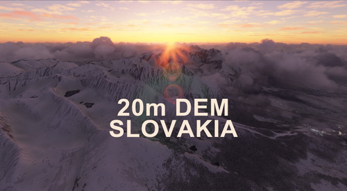
SLOVAKIA 20m DEM - High Resolution Terrain Elevation Data from LIDAR Imaging
High Resolution Terrain Elevation Data from LIDAR Imaging covering Slovakia. Customized height profiles with 20m mesh resolution and 0.1m accuracy. Enhances mountain shapes, flattens lakes & rivers, and removes terrain artifacts for a realistic flying experience. Caution for potential performance issues with high speed and altitude flights; perfect for VFR enthusiasts exploring Slovak landscapes.
Download Links
Report a problem
SLOVAKIA 20m DEM - High Resolution Terrain Elevation Data from LIDAR Imaging
Advertisement
Remove ads