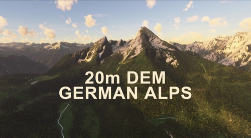
GERMAN ALPS 20m DEM - High Resolution Terrain Elevation Data from LIDAR Imaging
Explore the beauty of the German Alps with this mod featuring high-resolution terrain elevation data from LIDAR imaging. The customized height profiles offer a mesh resolution of 20m, providing mountain shapes close to reality and smoothing out lakes, rivers, and terrain artifacts. Experience immersive VFR flights with improved elevation detail in southern Germany.
Download Links
Report a problem
GERMAN ALPS 20m DEM - High Resolution Terrain Elevation Data from LIDAR Imaging
Advertisement
Remove ads