SWITZERLAND 20m DEM - High Resolution Terrain Elevation Data from LIDAR Imaging
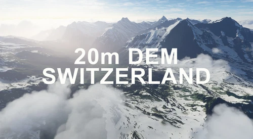
Explore the beauty of Switzerland with this mod offering high resolution terrain elevation data using LIDAR imaging. The mesh resolution is 20m, providing exceptional detail with a height resolution of 0.1m. Update includes extreme LIDAR meshes for specific regions. Please note potential performance impacts and report any bugs for further improvements. Fly VFR over Switzerland with enhanced realism and accuracy.
Download Links
Report a problem
SWITZERLAND 20m DEM - High Resolution Terrain Elevation Data from LIDAR Imaging
Advertisement
Remove ads