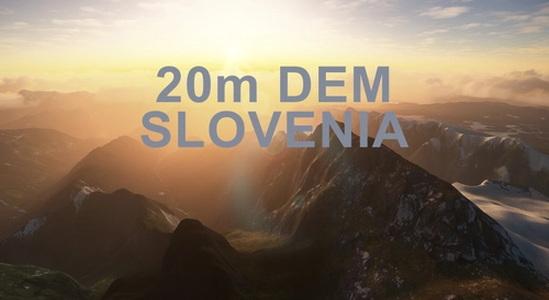
SLOVENIA 20m DEM - High Resolution Terrain Elevation Data from LIDAR Imaging
Explore the stunning terrain of Slovenia with this mod featuring high-resolution LIDAR imaging data for a more realistic flight experience. The 20m mesh resolution enhances mountain shapes and flattens lakes and rivers, eliminating terrain artifacts. Stay informed about potential performance issues and adjustments needed for optimal usage. Appreciate the efforts of the creators who made this detailed elevation data available for your VFR flights in Microsoft Flight Simulator.
Download Links
Report a problem
SLOVENIA 20m DEM - High Resolution Terrain Elevation Data from LIDAR Imaging
Advertisement
Remove ads