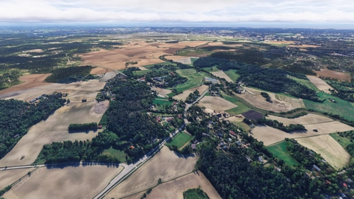
Seutula – Riipilä, Vantaa FI
Seutula – Riipilä is a scenery add-on covering a rural section of Vantaa, Finland, using Google Maps satellite imagery for enhanced ground and road realism. The add-on addresses poor default terrain and texture issues in the area near Helsinki–Vantaa airport. Due to technical limitations, aircraft cannot land on the ground surface within the covered area, and only Google Maps trees are visible. This add-on functions independently and is part of a series gradually covering the Vantaa region.
Download Links
Report a problem
Seutula – Riipilä, Vantaa FI
Advertisement
Remove ads