1 / 3
MAPA SERTAO (BRAZYLIA PÓŁNOCNO-WSCHODNIA) V1.1 – 1.49 ETS2
MAPA SERTAO (BRAZYLIA PÓŁNOCNO-WSCHODNIA) V1.1 – 1.49 ETS2
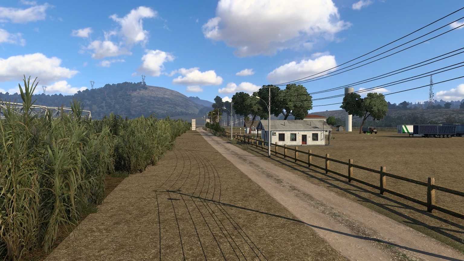
Sertão to „zaplecze” lub „backcountry”. W Brazylii odnosi się do jednego z czterech podregionów Regionu Północno-Wschodniego Brazylii. Północno-wschodnia Brazylia jest w dużej mierze porośnięta krzaczastym lasem wyżynnym zwanym caatingas. Jej granice nie są dokładne.
Sertão to „zaplecze” lub „backcountry”. W Brazylii odnosi się do jednego z czterech podregionów Regionu Północno-Wschodniego Brazylii. Północno-wschodnia Brazylia jest w dużej mierze porośnięta krzaczastym lasem wyżynnym zwanym caatingas. Jej granice nie są dokładne.
Download Links
Report a problem
MAPA SERTAO (BRAZYLIA PÓŁNOCNO-WSCHODNIA) V1.1 – 1.49 ETS2
Advertisement
Remove ads